3D Laser Scanning
3D Laser Scanning
3D laser scanning offers a safe, fast and highly accurate method of data collection across a vast range of sectors and environments. Many of the sectors in which we work require large amounts of data to be collected with a high level of detail.
Survey images capture a true 360 degree representation of the surrounding area at a specified moment in time. The high specification machines used by the Scansurv team can scan large and far away objects at a distance of up to 350 metres collecting data with highly accurate results and detail even in direct sunlight.
3D Scanner Capabilities
Laser scanners are capable of recording up to one million survey points per second with a ranging error as accurate as +/-2mm. Data can be collected quickly and efficiently to suit your exact requirements.
There is the option to collect data in either monochrome or full HDR colour.
Before all surveys commence we ask our clients to complete a detailed Project Requirement form. This ensures that the Scansurv team are fully aware of your requirements and undertake the survey in accordance with your instructions.
How 3D Scanning Works
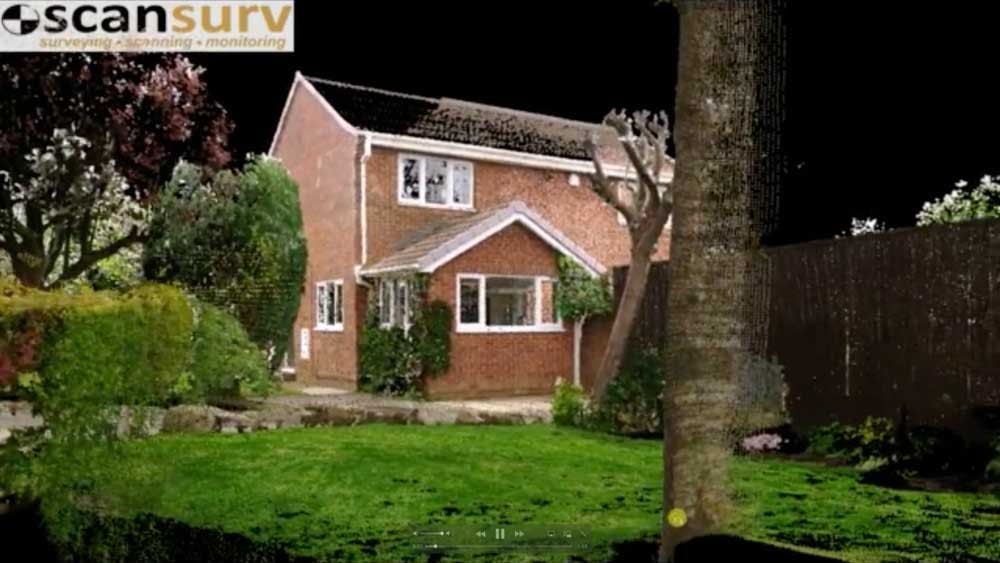
Following the data collection on site the laser scans are registered and stitched together during post processing. On site a 3D point cloud is produced at each individual location. The scans are digitally stitched together using purpose built high specification computers. The 3D point cloud survey can be exported and converted for use with a wide range of software packages and platforms to suit each client’s individual requirements. Laser scans can be manipulated to produce 3D point clouds, animations, 2D drawings, 360 degree photography and models for analytical purposes. Cross sections and sectional elevations can be viewed from the collected scans which enables highly accurate and detailed floor plans and sections to be drawn.
Laser scanning can also provide the opportunity for employers to present their staff with full interactive virtual tours and scans of their businesses and premises. These interactive tools ensure that staff can work within a safe, socially distant, comfortable and risk free environment during the current Covid-19 pandemic. The 360 degree images that are captured allow virtual tours and data interrogation to be undertaken from a desktop workstation anywhere in the world.
Laser scanning is now at the forefront of FEED designs within the petrochemical and pharmaceutical companies. Engineering firms regularly include within their design proposals a 3D point cloud survey of the site which allows for highly accurate data collection, eliminate clashes and remove human error. Data can be easily recorded over long distances with taking measurements or for a purely visual survey. This information can then be used and taken forward for detailed design.
3D laser scanning offers many benefits and advantages to our clients to that of traditional surveys. The list below is not exhaustive and is constantly expanding.
Benefits of 3D Scanning
- Significantly reduce manhours (time spent on site & travelling)
- Reduced number of site visits
- Rapid & efficient data collection reducing shut down and disruptions
- Highly accurate data collection which also eliminates human error
- Create a 24/7 virtual record of any site that can be accessed globally
- Increased accuracy over traditional survey methods
- Reduced Health and Safety Risks
- Collect detailed information in highly congested or inaccessible areas
- Eliminate clashes on site during the construction process
- Maximum data collection, no more missed dimensions or levels
- Enable full and improved coordination between all disciplines
- Wide range of deliverables achievable
Applications
3D laser scanning can be utilised for a wide range of applications:
- Highly detailed and accurate record surveys
- Monitoring and movement surveys
- Clash Detection
- Measured building surveys and floor plans
- Refurbishment, Interior Design, Retrofit and Upgrades
- Update historic 2D plans
- As-Built and archive 3D records
- Historic and listed building facades
- Quantity surveying and estimating
- Survey inaccessible areas with no direct access
- Survey hazardous areas to avoid direct access
- Heavy load route scanning
- Archaeological Digs
- 3D Flythroughs
- Stockpile measuring
- Ground profiling
- Traffic Accidents and Crime Scene Investigation
- Record construction site progress
- Bridge surveys
The Process
Initial Setup
Scanning Locations
Laser Scanner Machine Preview
Post Processing & Project Registration
Post Processing Flyaround
See the Scan Results
The Results
360 Sphere Post Processed Scans
Views to Perimeter of Industrial Units